Besides the presentations and workshops, there will be four keynote speakers at the conference.
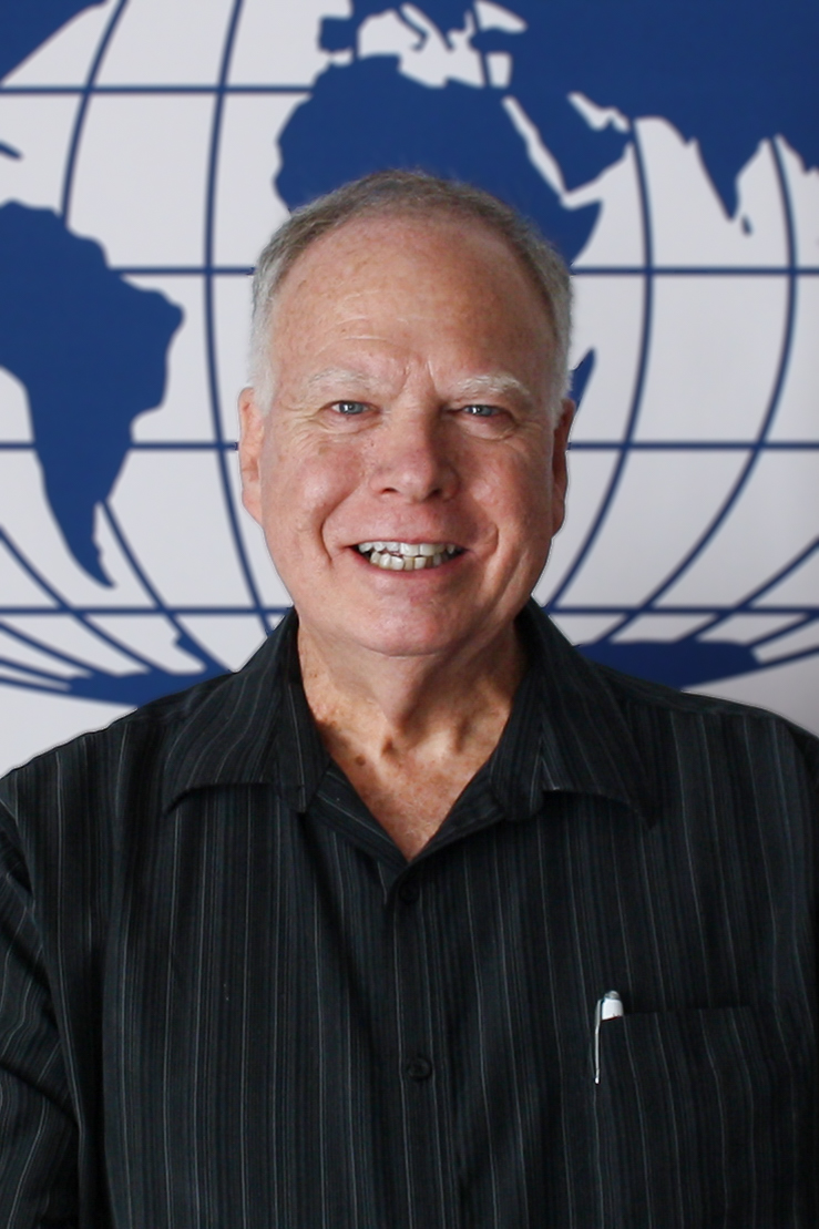
Tim Trainor: “The relevance and need for Cartography in the modern world”
We are living through a data revolution. In the last decade, significant changes emerged as individuals as well as private and public institutions were introduced to transformational technologies. Personal iPhones with easy interfaces combined with phenomenal computing power, growing numbers of agile mobile and internet-based apps and increasing use of location data (GPS) applying to every aspect of life, were some of the catalysts driving this fast-paced data revolution. The result is far more data and increasing numbers of data types. This new reality creates new challenges in understanding. To accommodate the new data revolution changes in geospatial information management are essential. Adoption and implementation by national mapping and national geospatial organizations of a new geospatial framework developed by the United Nations is a positive response to this new data ecosystem. The Integrated Geospatial Information Framework (IGIF) is the next generation of NSDIs. The IGIF not only allows for new and more geospatially referenced data but also includes every component needed to achieve national geospatial information management goals. Cartography is an integral part of the IGIF. Cartography contributes to a better understanding of data and aids in promoting the IGIF. It is now up to the cartographic community to define the role the discipline will play in the IGIF.

Tim Trainor is currently a part-time consultant to the United Nations and is the former Chief Geospatial Scientist for the U.S. Census Bureau. He has extensive experience in a broad area of cartographic and geospatial topics that include exploring methodological, technical and substantive issues relating to cartography and the collection, management and integration of geospatial information. Tim served as the Co-Chair of the United Nations Committee of Experts on Global Geospatial Information Management as well as Head of the U.S Delegation to that Committee. He was the Senior Agency Official for Geospatial Information for the U.S. Department of Commerce and was an executive member of the U.S. Federal Geographic Data Committee. Prior to being elected as President of the International Cartographic Association in July 2019, he served as Vice President of the ICA (2007-2015). He is a member of the Cartography and Geographic Information Society as well as other professional associations. He holds a post-graduate diploma in cartography from the University of Glasgow, Scotland within the Faculty of Science, a Masters Certificate in project management from George Washington University School of Business and Public Management and a Bachelor of Arts Degree from Rutgers University.
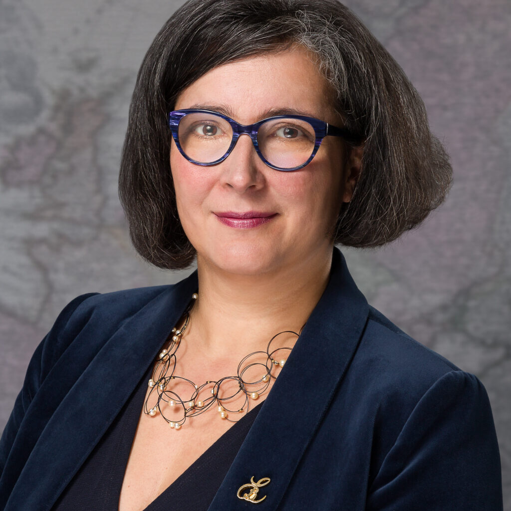
Léa Bodossian: “Map Matters”

Léa Bodossian is the Secretary General and Executive Director of EuroGeographics, the not-for-profit association of national mapping and cadastral agencies of all of Europe. Léa is a geographer by training, and has spent her career in European affairs, mostly in the aviation world. She joined EuroGeographics in October 2020, one of her mission being to foster the usage of official geodata to the benefit of society.
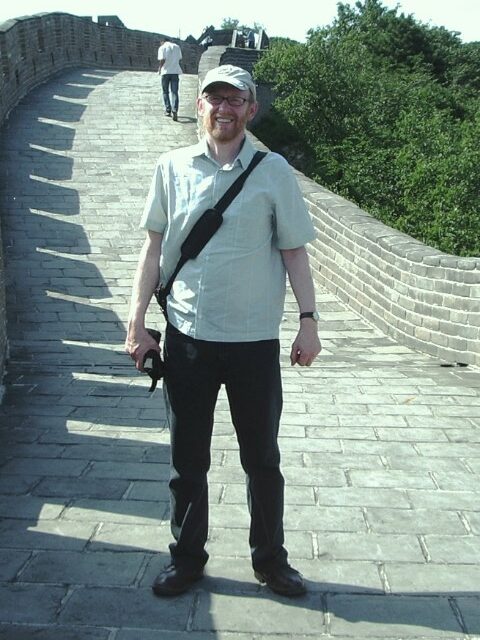
David Fairbairn: “Developing a human-oriented paradigm for cartography”
This presentation will reflect on the ways in which cartography has been studied in the 20th century through successive paradigms, which have governed its varying practice, research, identity as a discipline, and roles in science and society. Such studies have borrowed theories, concepts, methods, and standards from other fields of human endeavour. In order to build upon current approaches to cartographic research and enquiry, which emphasize the role of the human in every aspect of mapping, cartographic paradigms will be re-visited, and it is proposed to enhance them with some neglected concepts from other disciplines.

David Fairbairn retired from the School of Engineering, Newcastle University, UK, in 2019 after more than 40 years teaching cartography and GIS to surveyors and geomaticians. Among many associated roles during that period, he has been editor of The Cartographic Journal, Secretary-General of ICA, and chair of its Education and Training Commission. He retains a keen interest in the discipline of cartography.
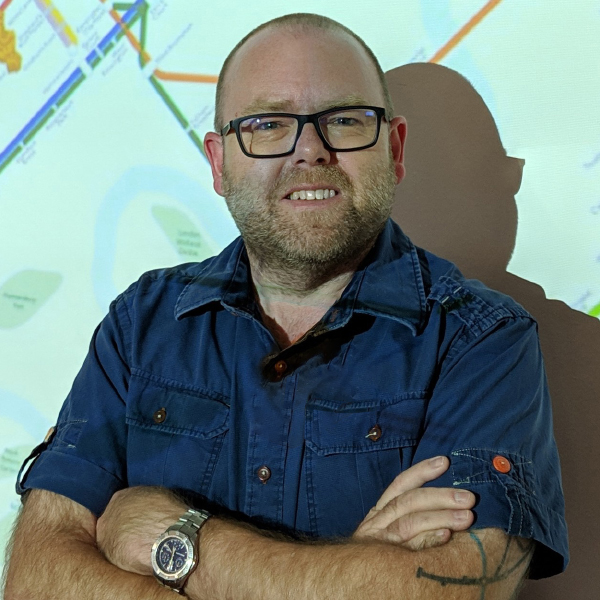
Ken Field: “These are my maps. Show me yours”
Every map is a product of its maker, its reader, and multiple competing contexts. They are rarely right or wrong but, instead, offer different versions of the truth. The meaning you see in a map can reinforce or challenge your understanding of the theme it represents, and you are much more likely to believe a map if it presents a version of the truth that you believe in already. This talk explores truthfulness in map-making, and map use, through a lens of cartographic ethics, and my recent work in creating an atlas of alternative maps of political data. The role of ethics is seen by some as a code against which cartographers might be held accountable, and which should always guide our work but I argue that while they have some value, for a number of reasons they might be counter-productive. Different approaches to visualizing data leads to different maps, and different ways of seeing different shades of the truth. This is what drives diversity in mapping. I’ll show you some of my maps but I’m very much interested in seeing yours too.

Ken is a permanently recovering academic from the UK with a Bachelors in cartography and PhD in GIS. He grew tired of faculty meetings and the incessant hunt for research funding, and ditched his 20 year academic career, moved to the US, and talks and writes about cartography, teaches, and makes maps at Esri in California. He has presented and published an awful lot. He blogs, tweets too much, after 8 years as Chair is now Vice-Chair of the ICA Map Design Commission, and did a 9 year stint as Editor of The Cartographic Journal, He’s won a few awards for maps, books, teaching cartography, and kitchen tile designs. He teaches a MOOC on Cartography which has so far had over 150,000 participants. He is co-founder of longitude.space and mappery.org. He snowboards (reasonably), plays drums (badly) and is a long-suffering supporter of his home-town Premier League football team Nottingham Forest. Maps are his passion, and profession.